FAQs Page
- Home
- FAQs
FAQs
Frequently Asked Questions
Certainly. Chief Pilot Andrew possesses a Remote Pilot Certificate granted by the Federal Aviation Administration (FAA) and holds a valid certification as a commercial drone operator. Our team is readily able to furnish our FAA credentials upon receiving any inquiries.
Yes, we have obtained Aviation Insurance specifically tailored to meet the legal requirements for our drone operations. This type of coverage is mandatory and ensures comprehensive protection for our aerial activities. Although we also possess general business liability insurance, it does not extend to aerial drone operations. Therefore, in order to adequately safeguard both our aerial and ground work, we maintain both types of insurance coverage.
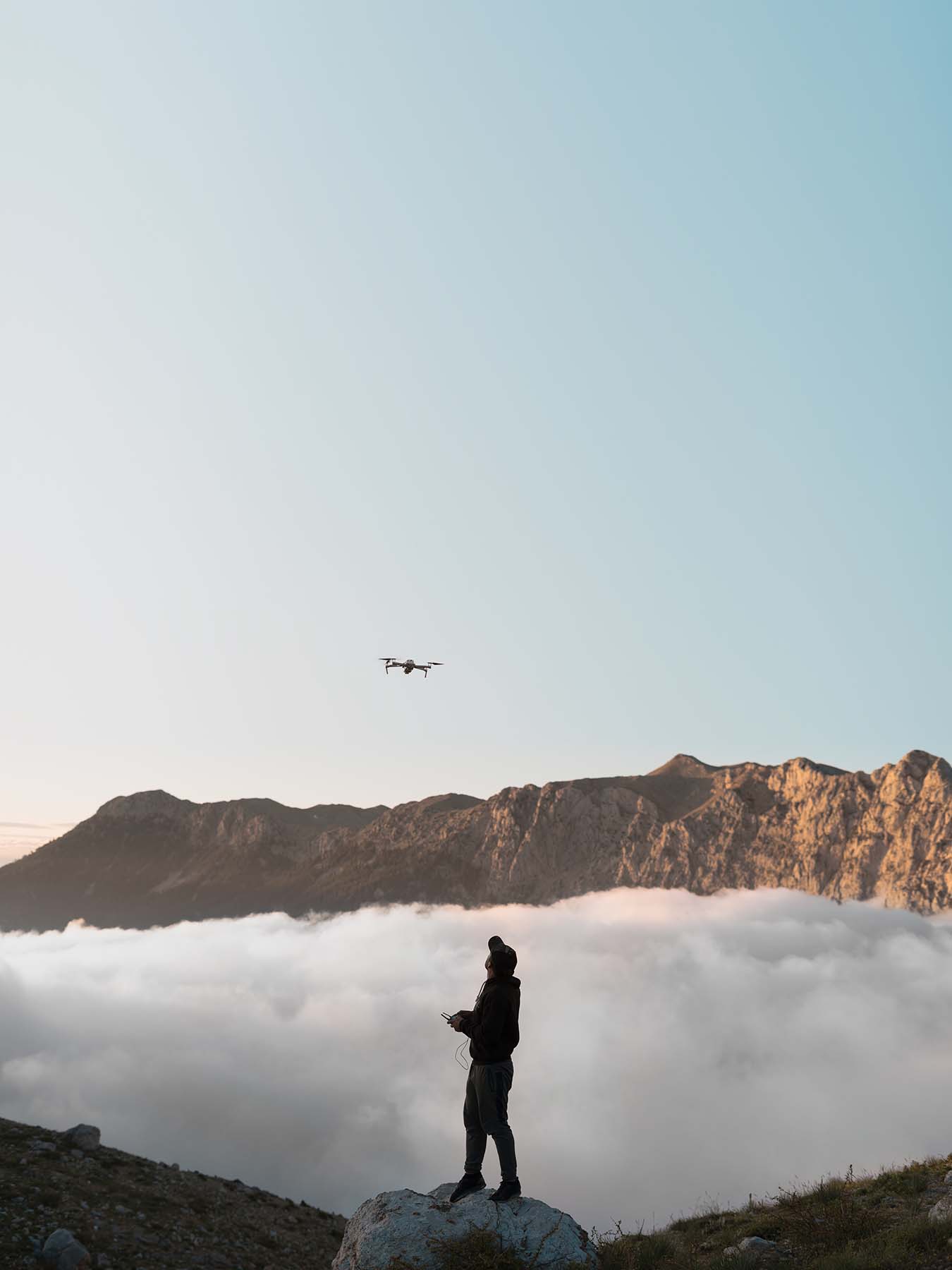
Some of our drones have a battery life of up to 30 minutes. On average, our flight times range from 10 to 20 minutes. To ensure we don't miss out on capturing the perfect shot, we always carry multiple batteries and chargers during our drone shoots.
Indeed, we have successfully received a waiver from the FAA that permits us to carry out night operations, which interestingly enough is officially referred to as the 107.29 Daylight Operation Waiver. This waiver is not commonly held by most drone operators, as it encompasses more intricate regulations compared to flying during daylight hours or at dusk. However, at Champion Drone Works, we boast the necessary expertise and abilities to conduct night operations. Additionally, we strictly adhere to FAA guidelines by employing anti-collision lights during dawn and dusk flights, ensuring the visibility of our drones to other aircraft.
FAQs
Regular Questions
Performing commercial Aerial Drone Operations is a multifaceted undertaking. In addition to possessing expertise in flying and effectively operating a drone equipped with high-quality imaging capabilities, it is crucial to hold the necessary licensing from the FAA and obtain aviation insurance. Navigating the intricate regulations for commercial pilots can prove challenging, which is why it is advisable to enlist the services of a professional. Moreover, with over two decades of experience in the fiercely competitive commercial photography industry, our imagery surpasses that of the average individual.
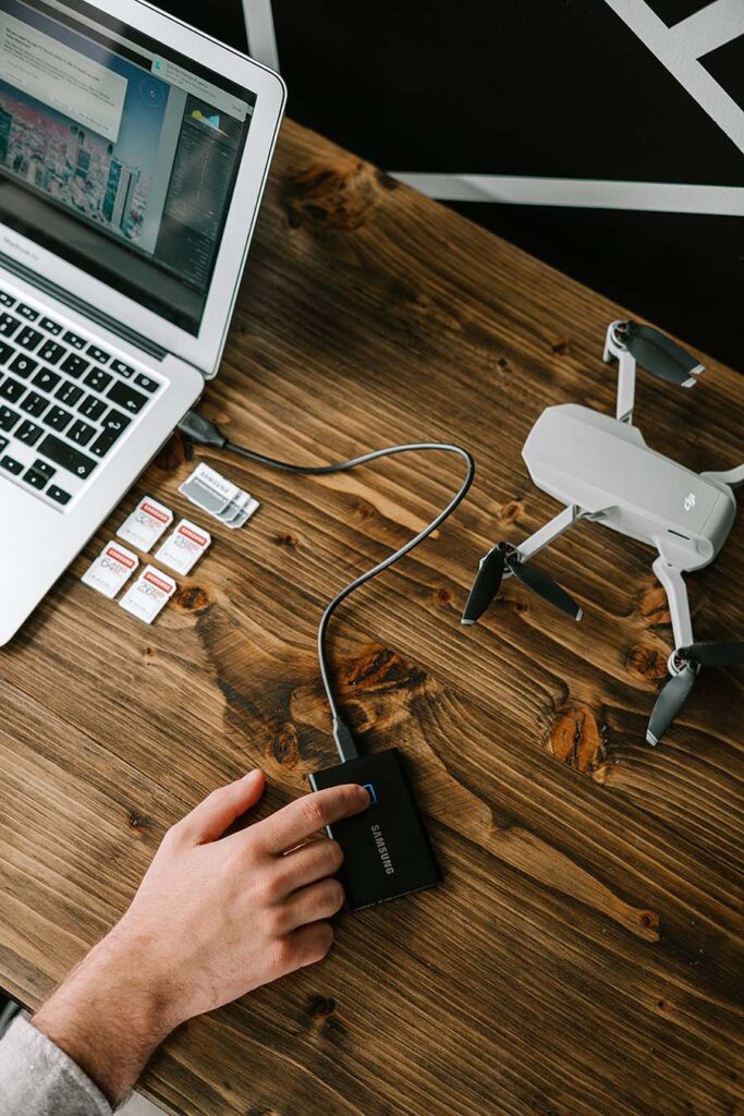
For web-based projects, a resolution of 1080 is typically sufficient. However, we also possess 4k capabilities for those seeking exceptionally high resolution. In certain scenarios, shooting in 4k is advantageous, as it enables us to crop footage during post-production, providing greater flexibility and editing options.
Indeed, we provide comprehensive photo retouching services tailored to your drone photography needs, ranging from straightforward enhancements to more intricate edits. Whether you have a building photographed at dusk without the lights on or specific requests such as removing or adding vehicles in parking lots, our post-production expertise has you covered, ensuring your vision is realized.
Certainly. We utilize Adobe Premiere Pro for video editing and provide CGI 2D and 3D graphic rendering services. Our commitment to post-production quality is paramount. Our video footage is captured in D-Log color mode to ensure the broadest data spectrum, allowing for meticulous quality control during the editing process. Additionally, we collaborate with skilled voiceover artists to enhance our projects.
Cash, Visa, American Express, Master Card, Discover, Venmo, PayPal, Cash App
At Champion Drone Works, drones offer a multitude of applications, and their versatility continues to expand daily. This technology can be considered a disruptive innovation, drawing significant investments from third-party entities and governmental organizations. Below, we've compiled a list of some of the more prevalent services we excel in:
Drone Aerial Inspection: Our specialization lies in asset integrity inspection and surveying, a field deeply rooted in our industrial background. Unmanned Aerial Vehicles (UAVs) are ideally suited for this purpose, as they align perfectly with an industry prioritizing safety enhancements and cost-effective methods.
Drone Thermographic Aerial Survey: Our services encompass the use of thermal imaging sensors in conjunction with standard RGB sensors. This combination is employed for inspecting energy loss across various assets. Applications range from checking for pipeline leaks and identifying heat buildup in rotating equipment to assessing building envelope insulation and monitoring electrical component temperatures.
Long Range Asset Inspection: We have access to one of the market's most powerful RGB cameras, the Zenmuse Z30. This camera boasts a 180x zoom function and can capture high-resolution images from distances of up to 150 meters. This capability is invaluable for detailed inspections of industrial assets, often eliminating the need for shutdowns or isolations before inspection. It can also be used in sensitive areas on-site.
Land Survey and Topographical Survey: Drones have rapidly become the preferred choice for land survey work due to their speed, allowing for significantly faster ground coverage compared to traditional methods involving total stations or theodolites. The results can be accurately tied to pre-positioned ground control points, providing essential references for designing and constructing new developments.
3D Imaging and Point Cloud Analysis: Drones are increasingly favored for point cloud and 3D image generation due to their speed and versatility. The final product often surpasses alternatives. 3D modeling is invaluable for monitoring maintenance of heritage sites or construction projects and serves as a reference for new developments. Point clouds consist of data points from overlapping images, providing precise measurements, elevations, deviations, and serving as a valuable tool for surveyors.
Internal Inspection and Confined Space Survey: Inspecting storage tanks is a substantial task with multiple safety checks required before entry. DJM Aerial Solutions now offers a tank inspection drone and confined space inspection UAV, dramatically reducing the time needed for such tasks and enhancing safety. These drones can capture both standard RGB and thermal data.
Promotional Aerial Video / Aerial Photography: Our capabilities extend to producing bespoke aerial videos and photography for businesses looking to showcase their products or upcoming events. With our experience and specialized equipment, we can create captivating aerial footage tailored to your promotional needs.
Construction Development Progress Reports: We also offer a popular service of providing monthly footage and imagery for new construction developments. This content can be incorporated into progress reports for stakeholders, providing tangible evidence of the project's advancement over time.
While our drones are capable of functioning in rainy conditions, it's important to note that the quality of your filming may be compromised.
He extent of our services varies depending on the project's size and complexity. We can accommodate anything from brief one-hour assignments to extensive multi-day shooting or mapping projects. Additionally, our pricing structure is influenced by the intended usage of the images. Rates differ significantly between personal use by a homeowner and usage in a nationwide consumer advertising campaign. Feel free to reach out today to request a complimentary quote tailored to your specific needs!
Contact
Ask Us Anything
Champion Drone Works holds the top position as the premier drone imaging company in Birmingham, Alabama.